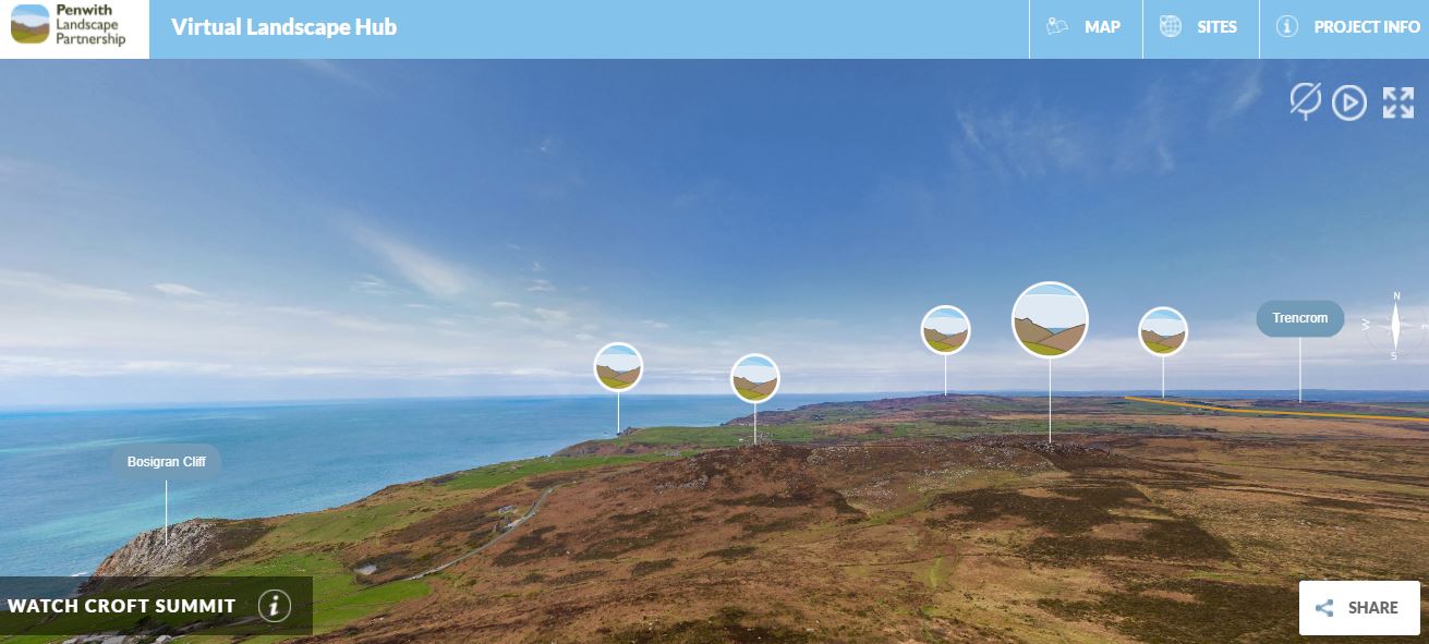
If you are here in West Penwith it is easier to get a sense of this by standing in the landscape, especially if you have been on a guided walk of some sort. But for folks visiting from afar, only just beginning to understand the landscape or visiting online, it can be hard to get across that connected nature without a lengthy accompanying dialogue - at least until the creation of our Penwith Landscape Exploration Network, otherwise known as the PLEN. This offers a new, virtual way to explore Penwith and its features in their correct context.
We decided to use aerial images as a way to contextualise the layers of the landscape, and to try and offer a sense of the connected nature of the area. Many of the highest points in Penwith not only house Prehistoric sites, but provide excellent vantage points from which to see other ancient sites. Around these high points orbit settlements, pathways and sacred places - almost always with common lines of sight, and all most likely located with an eye to moving through and understanding the landscape around you in various ways.
Because it is such a protected pocket of land it offers a great opportunity to understand the more complete way people used to use the environment around them. We hope this network of interconnecting viewpoints begins to demonstrate the special nature of the area, and makes you want to find out more about this living, working landscape.
We have not listed all the historic sites ion the area as there are thousands in Penwith, and they can be better seen on other websites such as the Cornwall Council interactive map. On The PLEN we have highlighted a few that we think best demonstrate particular landscapes or visual networks within an area around the viewpoint. It should be noted that the time depth to the features in the landscape is considerable, and the continual use of these fields and sites means that they often become altered through time. A lot of these features are hard to see unless you know what to look for or where it is.
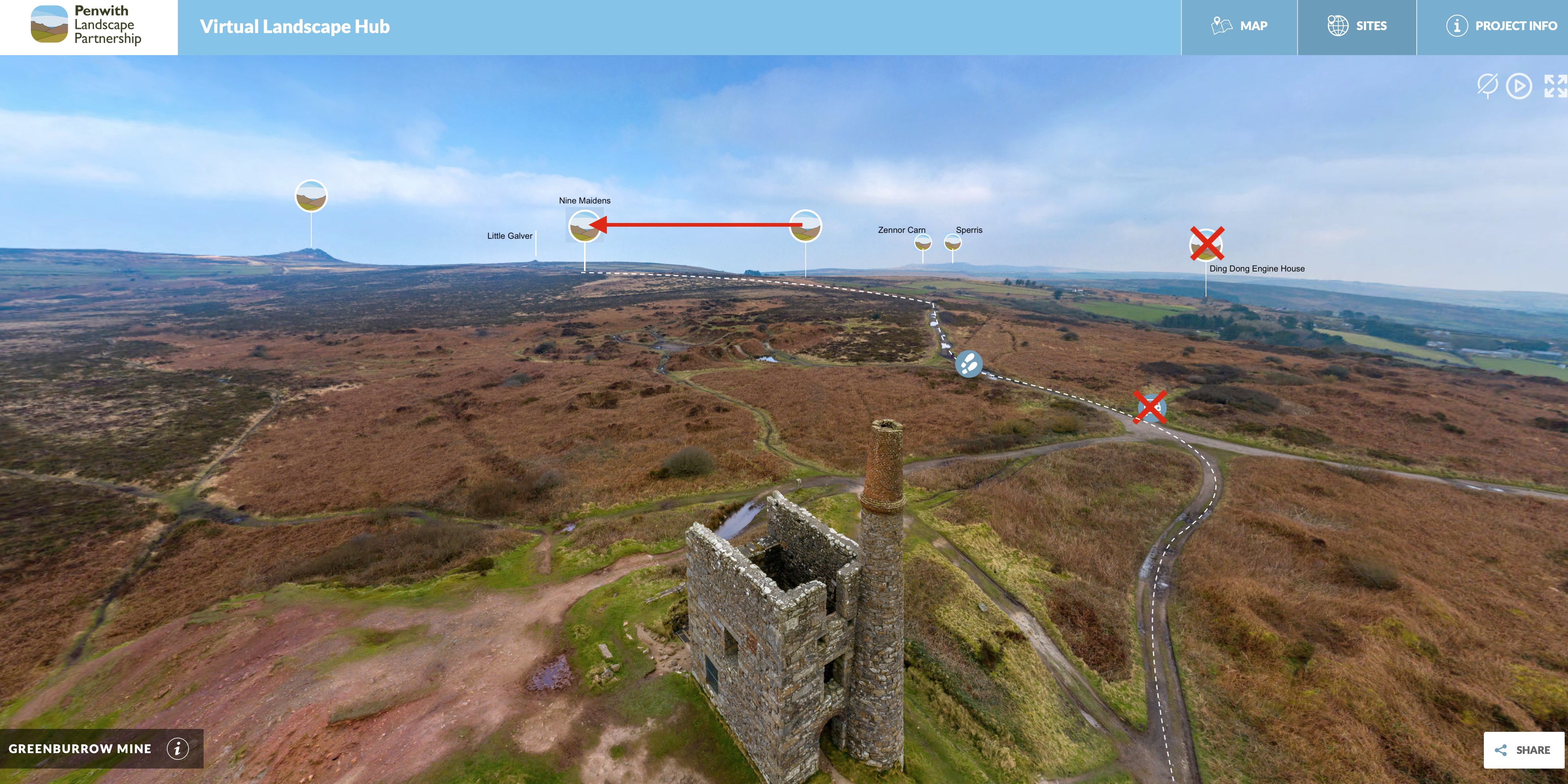
 Working closely with 3deep Media, myself and the in-house team have been commissioning images, editing viewpoints and thinking about the stories of these places and how to best showcase these without ourselves being part of the conversation directly - here you can see editing notes taking place for points around Greenburrow Engine House.
We are very proud of the PLEN - hopefully you find it as interesting and enjoyable to look through as we did making it! And do watch this space for more sites appearing in the next few months.
Click here to visit the PLEN, and also find it linked from our Trails and Ancient Sites page.


